| Item Detail |
| |
| |
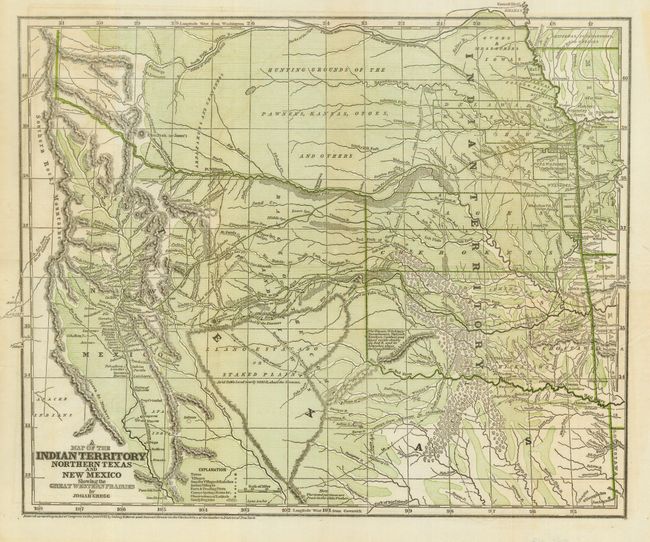
MapMaker: |
Josiah Gregg
|
|
| |
| |
Subject: |
Southwestern United States |
|
| |
Period/Size: |
1844 / 12.3" x 14.9" (31.3 x 37.9 cm)
|
|
| |
Color: |
Colored
|
|
| |
Condition: |
(B) Very good with folds as issued and with early cerographic printed color. There is one tiny pinhole in the map and a clean fold separation in the center. Map is fragile along folds and would benefit from professional backing. (condition help) |
|
| |
Source: |
Commerce of the Prairies |
|
| |
References: |
Wheat, (TMW) #482; Wagner & Camp 108.1. |
|
| |
|
|
| Sales Information |
| |
| |
Price: |
|
|
| |
| |
Offered by: |
Old World Auctions |
|
| |
Catalog: |
Auction No. 117 - Antique Maps, Charts, Atlases & Globes (579) |
|
| |
Lot/Item #: |
204 |
|
| |
| |
Date: |
12/2006
|
|
| |
| |
|