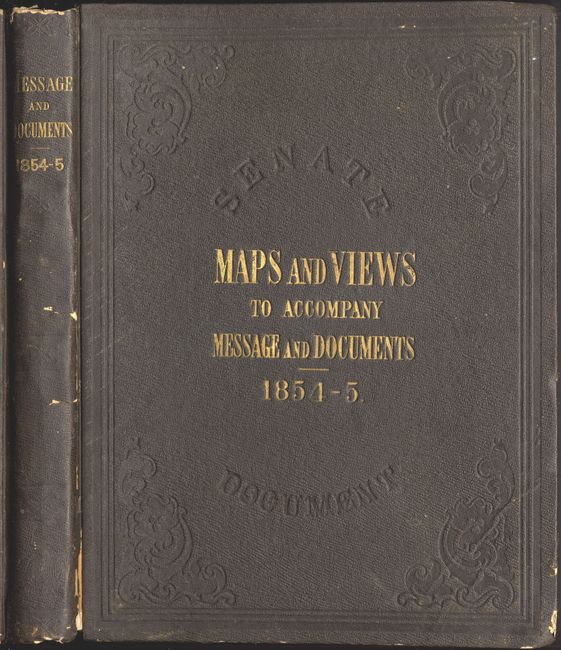
Title:
“Maps and Views to Accompany Message and Documents…”
Map Maker:
U.S. Government
Book of foldout state surveys, harbors, etc, publi... (full text available to subscribers)
| Item Detail |
| |
| |
MapMaker: |
U.S. Government
|
|
| |
| |
Subject: |
Exploration and Surveys |
|
| |
Period/Size: |
1854 / 12.0" x 9.0" (30.5 x 22.9 cm)
|
|
| |
Color: |
Black & White
|
|
| |
Condition: |
(B) Most of the maps and views have toning and foxing. Several have binding tears and intersection fold separations. Some tears have traveled into the images. Cover shows heavy shelf wear and bumping with cloth separations on spine. (condition help) |
|
| |
Source: |
33rd Cong. 2nd Session, Sen. Ex. Doc. No. 1, Part III |
|
| |
References: |
|
|
| |
|
|
| Sales Information |
| |
| |
Price: |
|
|
| |
| |
Offered by: |
Old World Auctions |
|
| |
Catalog: |
Auction No. 117 - Antique Maps, Charts, Atlases & Globes (579) |
|
| |
Lot/Item #: |
889 |
|
| |
| |
Date: |
12/2006
|
|
| |
| |
|
Antique Maps - Valuation and Pricing, Descriptions, Resources |
|
Home |
Information |
Search |
Register |
Contact Us |
Site Map
Americana Exchange, Inc. © 1999 - 2024 Americana Exchange, Inc.. All rights reserved.
OldMaps.com, the OldMaps.com logo and
AMPR are service marks or registered service marks of Americana Exchange, Inc..
|


