| Item Detail |
| |
| |
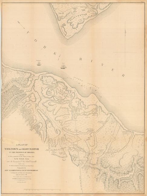
MapMaker: |
John Hills
|
|
| |
| |
Subject: |
Virginia - Revolutionary War |
|
| |
Period/Size: |
1781 / 27.7" x 20.5" (70.4 x 52.1 cm)
|
|
| |
Color: |
Black & White
|
|
| |
Condition: |
(B) Generally good with a tear on the left coming into map about 3", closed with paper and cello tape. Some toning at edges and a close margin on right as issued. (condition help) |
|
| |
Source: |
|
|
| |
References: |
|
|
| |
|
|
| Sales Information |
| |
| |
Price: |
|
|
| |
| |
Offered by: |
Old World Auctions |
|
| |
Catalog: |
Auction No. 117 - Antique Maps, Charts, Atlases & Globes (579) |
|
| |
Lot/Item #: |
339 |
|
| |
| |
Date: |
12/2006
|
|
| |
| |
|