| Item Detail |
| |
| |
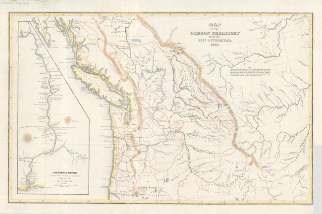
MapMaker: |
Charles Wilkes
|
|
| |
| |
Subject: |
Northwestern United States and Canada |
|
| |
Period/Size: |
1849 / 8.0" x 13.0" (20.4 x 33.1 cm)
|
|
| |
Color: |
Colored
|
|
| |
Condition: |
(B) Map image with light hand coloring and some cockling to paper, else very good. Binding trim at lower right and a little roughness to margin at upper left. (condition help) |
|
| |
Source: |
Western America; including California and Oregonģ |
|
| |
References: |
Wheat (TMW) #655; Hayes 199. |
|
| |
|
|
| Sales Information |
| |
| |
Price: |
|
|
| |
| |
Offered by: |
Old World Auctions |
|
| |
Catalog: |
Auction No. 117 - Antique Maps, Charts, Atlases & Globes (579) |
|
| |
Lot/Item #: |
131 |
|
| |
| |
Date: |
12/2006
|
|
| |
| |
|