| Item Detail |
| |
| |
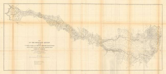
MapMaker: |
U.S. War Department
|
|
| |
| |
Subject: |
Northwestern United States |
|
| |
Period/Size: |
1859-1863 / 21.0" x 49.5" (53.4 x 125.8 cm)
|
|
| |
Color: |
Black & White
|
|
| |
Condition: |
(B) All maps are folding, as issued. With occasional light toning on folds and fold intersection splits. (condition help) |
|
| |
Source: |
Senate Doc 43, 37th Cong 3rd Sess. |
|
| |
References: |
Wheat (TMW) #1077, 1078, 1079 & 1080. |
|
| |
|
|
| Sales Information |
| |
| |
Price: |
|
|
| |
| |
Offered by: |
Old World Auctions |
|
| |
Catalog: |
Auction No. 117 - Antique Maps, Charts, Atlases & Globes (579) |
|
| |
Lot/Item #: |
200 |
|
| |
| |
Date: |
12/2006
|
|
| |
| |
|