| Item Detail |
| |
| |
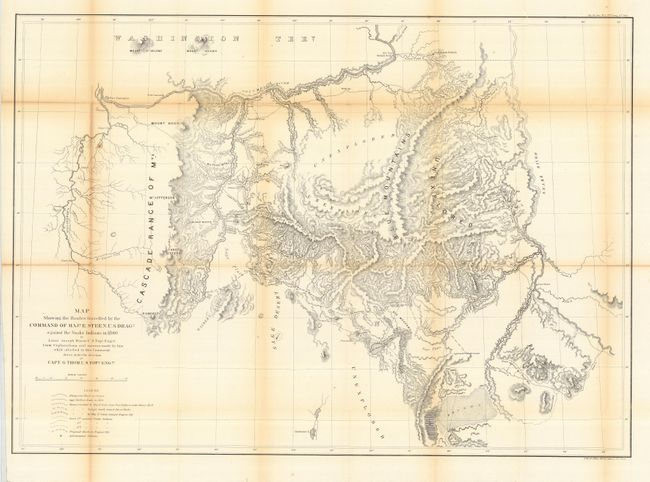
MapMaker: |
U.S. War Department
|
|
| |
| |
Subject: |
Northwestern United States |
|
| |
Period/Size: |
1860 / 24.0" x 33.5" (61.0 x 85.1 cm)
|
|
| |
Color: |
Black & White
|
|
| |
Condition: |
(B) Issued folding, now backed with archival tissue. Some fold line toning, else very good. (condition help) |
|
| |
Source: |
Sen Ex Doc No. 1, 37th Cong., 2nd Sess. |
|
| |
References: |
Wheat (TMW) #1016. |
|
| |
|
|
| Sales Information |
| |
| |
Price: |
|
|
| |
| |
Offered by: |
Old World Auctions |
|
| |
Catalog: |
Auction No. 117 - Antique Maps, Charts, Atlases & Globes (579) |
|
| |
Lot/Item #: |
201 |
|
| |
| |
Date: |
12/2006
|
|
| |
| |
|