| Item Detail |
| |
| |
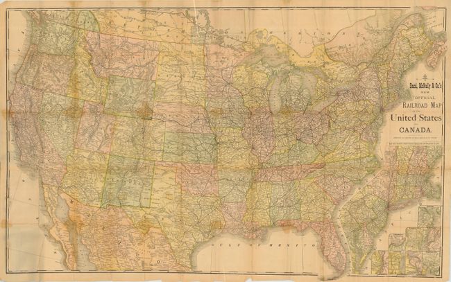
MapMaker: |
Rand, McNally & Co.
|
|
| |
| |
Subject: |
Canada & United States |
|
| |
Period/Size: |
1876-1880 / 27.0" x 42.0" (68.6 x 106.7 cm)
|
|
| |
Color: |
Colored
|
|
| |
Condition: |
(C) The map has numerous fold splits with light staining along some folds. Paper is delicate and should be professionally backed. Covers are rubbed and stained or water spotted, but quite sound. (condition help) |
|
| |
Source: |
|
|
| |
References: |
cf Modelski #59. |
|
| |
|
|
| Sales Information |
| |
| |
Price: |
|
|
| |
| |
Offered by: |
Old World Auctions |
|
| |
Catalog: |
Auction No. 117 - Antique Maps, Charts, Atlases & Globes (579) |
|
| |
Lot/Item #: |
133 |
|
| |
| |
Date: |
12/2006
|
|
| |
| |
|