| Item Detail |
| |
| |
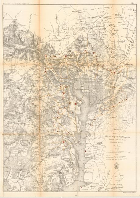
MapMaker: |
U.S. War Department
|
|
| |
| |
Subject: |
Virginia and District of Columbia |
|
| |
Period/Size: |
1865 / 23.7" x 16.8" (60.2 x 42.7 cm)
|
|
| |
Color: |
Colored
|
|
| |
Condition: |
(B) These maps are often in bad shape - this one is in exceptionally good shape with minor toning on centerfolds. Issued folding, now pressed and backed with tissue. (condition help) |
|
| |
Source: |
39th Cong., 1st Session. Report of the Chief Engineer |
|
| |
References: |
|
|
| |
|
|
| Sales Information |
| |
| |
Price: |
|
|
| |
| |
Offered by: |
Old World Auctions |
|
| |
Catalog: |
Auction No. 117 - Antique Maps, Charts, Atlases & Globes (579) |
|
| |
Lot/Item #: |
343 |
|
| |
| |
Date: |
12/2006
|
|
| |
| |
|