| Item Detail |
| |
| |
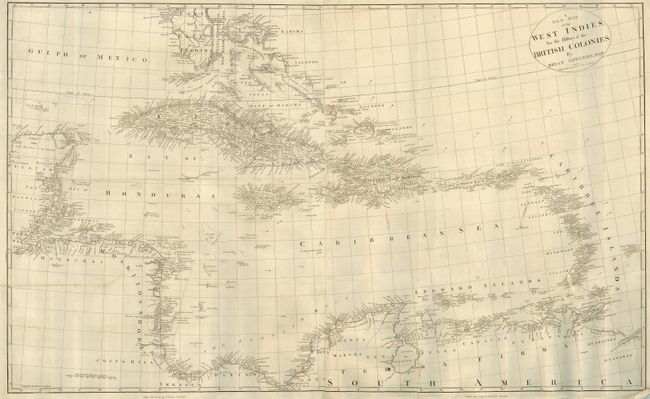
MapMaker: |
Bryan Edwards
|
|
| |
| |
Subject: |
Caribbean |
|
| |
Period/Size: |
1793 / 27.0" x 43.5" (68.6 x 110.5 cm)
|
|
| |
Color: |
Black & White
|
|
| |
Condition: |
(B) This a is very crisp copper engraving. The map is backed with Japanese tissue to close two tears; one on the bottom coming in about 4" into map and one on the left coming into the map about 9.5". Still a nice map. (condition help) |
|
| |
Source: |
The History, Civil and Commercial, of the British Colonies in. the West Indies |
|
| |
References: |
|
|
| |
|
|
| Sales Information |
| |
| |
Price: |
|
|
| |
| |
Offered by: |
Old World Auctions |
|
| |
Catalog: |
Auction No. 117 - Antique Maps, Charts, Atlases & Globes (579) |
|
| |
Lot/Item #: |
380 |
|
| |
| |
Date: |
12/2006
|
|
| |
| |
|