| Item Detail |
| |
| |
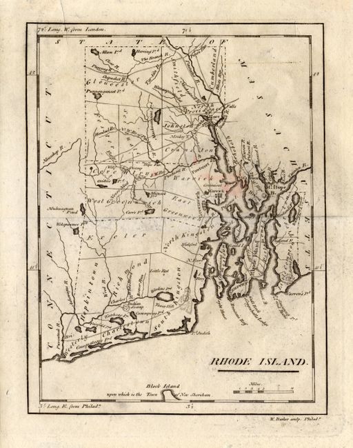
MapMaker: |
Mathew Carey
|
|
| |
| |
Subject: |
Rhode Island |
|
| |
Period/Size: |
1801 / 7.6" x 6.0" (19.3 x 15.3 cm)
|
|
| |
Color: |
Black & White
|
|
| |
Condition: |
(B) Trace of surface soil, small area of pink stain, short marginal tear at top, closed on verso. Mounted in archival mat board and correctly hinged. Tastefully double matted in cream with a forest green undermat - ready for framing. (condition help) |
|
| |
Source: |
Carey's American Pocket Atlas |
|
| |
References: |
Wheat & Brun 623. |
|
| |
|
|
| Sales Information |
| |
| |
Price: |
|
|
| |
| |
Offered by: |
Old World Auctions |
|
| |
Catalog: |
Auction No. 118 - Antique Maps, Charts, Atlases & Globes (584) |
|
| |
Lot/Item #: |
384 |
|
| |
| |
Date: |
03/2007
|
|
| |
| |
|