| Item Detail |
| |
| |
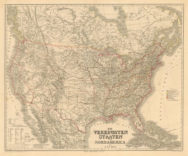
MapMaker: |
Weimar Geographisches Institut
|
|
| |
| |
Subject: |
United States |
|
| |
Period/Size: |
1858 / 21.0" x 25.0" (53.4 x 63.5 cm)
|
|
| |
Color: |
Colored
|
|
| |
Condition: |
(A) A clean, bright example. Three small wormholes, one inside image. and only visible when held to light. Damp stains and a few chips in margins, not reaching image. (condition help) |
|
| |
Source: |
|
|
| |
References: |
|
|
| |
|
|
| Sales Information |
| |
| |
Price: |
|
|
| |
| |
Offered by: |
Old World Auctions |
|
| |
Catalog: |
Auction No. 119 - Antique Maps, Charts, Atlases & Globes (585) |
|
| |
Lot/Item #: |
156 |
|
| |
| |
Date: |
05/2007
|
|
| |
| |
|