| Item Detail |
| |
| |
MapMaker: |
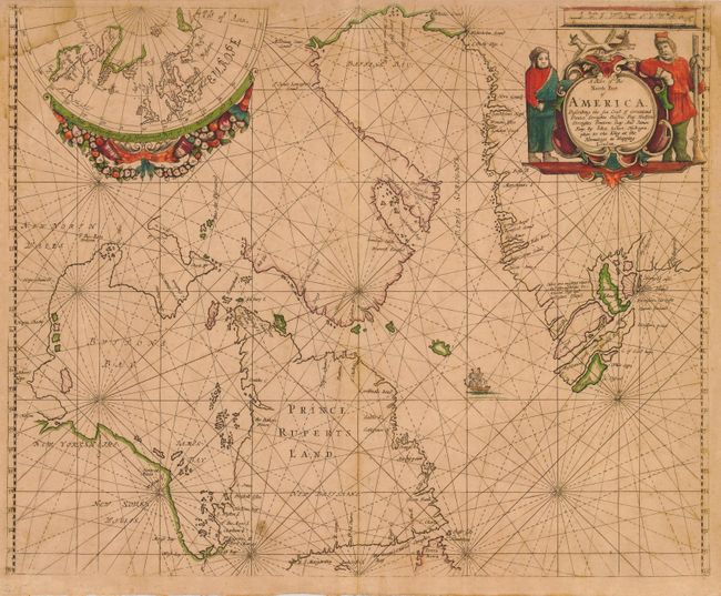
John Seller
|
|
| |
| |
Subject: |
Canada and Greenland |
|
| |
Period/Size: |
1675 / 17.0" x 21.3" (43.2 x 54.1 cm)
|
|
| |
Color: |
Colored
|
|
| |
Condition: |
(B) Great impression with original color. Overall toning and a few spots of foxing. Some damp stain in the upper corners. Hinge remnants on verso. Printed on very sturdy, double thick paper that was commonly used for sea charts. (condition help) |
|
| |
Source: |
Atlas Maritimus or A Book of Chartsģ |
|
| |
References: |
Kershaw #213. |
|
| |
|
|
| Sales Information |
| |
| |
Price: |
|
|
| |
| |
Offered by: |
Old World Auctions |
|
| |
Catalog: |
Auction No. 118 - Antique Maps, Charts, Atlases & Globes (584) |
|
| |
Lot/Item #: |
161 |
|
| |
| |
Date: |
03/2007
|
|
| |
| |
|