| Item Detail |
| |
| |
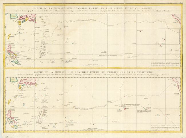
MapMaker: |
Jean Francois Galaup de La Perouse
|
|
| |
| |
Subject: |
Pacific Ocean |
|
| |
Period/Size: |
1797 / 19.3" x 26.7" (49.1 x 67.9 cm)
|
|
| |
Color: |
Colored
|
|
| |
Condition: |
(B) Issued folding, now flattened. Generally good with a fold separation in the lower margin, just into neatline. Light dampstain at top, some scattered soiling and a chipped corner. (condition help) |
|
| |
Source: |
Atlas du Voyage de la Perouse |
|
| |
References: |
|
|
| |
|
|
| Sales Information |
| |
| |
Price: |
|
|
| |
| |
Offered by: |
Old World Auctions |
|
| |
Catalog: |
Auction No. 118 - Antique Maps, Charts, Atlases & Globes (584) |
|
| |
Lot/Item #: |
889 |
|
| |
| |
Date: |
03/2007
|
|
| |
| |
|