| Item Detail |
| |
| |
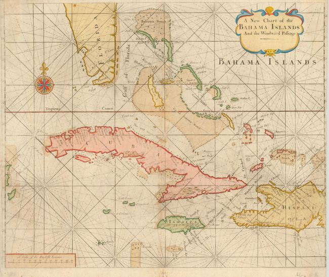
MapMaker: |
George Grierson
|
|
| |
| |
Subject: |
Bahamas and Greater Antilles |
|
| |
Period/Size: |
1749 / 17.0" x 20.5" (43.2 x 52.1 cm)
|
|
| |
Color: |
Colored
|
|
| |
Condition: |
(B) Very nice, delicate color with some light soil and toning on centerfold. The sides have been trimmed close on the sides, with loss of the neatline on the right. Small tear in lower blank margin has been repaired with archival tape. Still a good exa (condition help) |
|
| |
Source: |
English Pilot |
|
| |
References: |
|
|
| |
|
|
| Sales Information |
| |
| |
Price: |
|
|
| |
| |
Offered by: |
Old World Auctions |
|
| |
Catalog: |
Auction No. 119 - Antique Maps, Charts, Atlases & Globes (585) |
|
| |
Lot/Item #: |
405 |
|
| |
| |
Date: |
05/2007
|
|
| |
| |
|