| Item Detail |
| |
| |
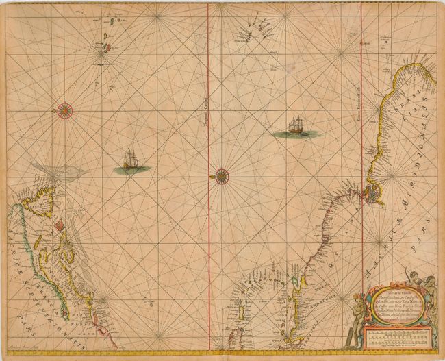
MapMaker: |
Pieter Goos
|
|
| |
| |
Subject: |
Atlantic Ocean |
|
| |
Period/Size: |
1668 / 17.5" x 21.3" (44.5 x 54.1 cm)
|
|
| |
Color: |
Colored
|
|
| |
Condition: |
(C) Printed on double thick paper, as was common with many sea charts. Original outline color, toned throughout. Top margin trimmed into border, apparently by a previous binder. (condition help) |
|
| |
Source: |
De Zee Atlas ofte Water Weereld… |
|
| |
References: |
Burden #390. |
|
| |
|
|
| Sales Information |
| |
| |
Price: |
|
|
| |
| |
Offered by: |
Old World Auctions |
|
| |
Catalog: |
Auction No. 118 - Antique Maps, Charts, Atlases & Globes (584) |
|
| |
Lot/Item #: |
508 |
|
| |
| |
Date: |
03/2007
|
|
| |
| |
|