| Item Detail |
| |
| |
MapMaker: |
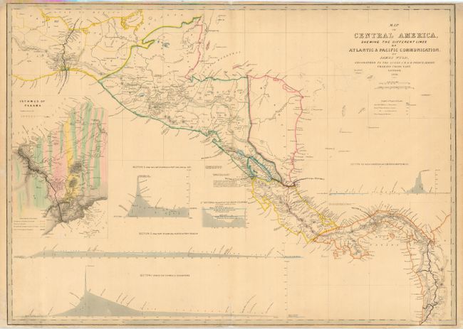
James Wyld
|
|
| |
| |
Subject: |
Central America |
|
| |
Period/Size: |
1850 / 22.8" x 32.0" (58.0 x 81.3 cm)
|
|
| |
Color: |
Colored
|
|
| |
Condition: |
(B) Close trimmed at top, as issued. Couple of minor repaired tears entering border and short fold separations both top and bottom. Bottom left corner with paper restoration and a bit of neatline in facsimile. (condition help) |
|
| |
Source: |
|
|
| |
References: |
Kapp (CA) #191; Kapp (Panama) #114. |
|
| |
|
|
| Sales Information |
| |
| |
Price: |
|
|
| |
| |
Offered by: |
Old World Auctions |
|
| |
Catalog: |
Auction No. 118 - Antique Maps, Charts, Atlases & Globes (584) |
|
| |
Lot/Item #: |
438 |
|
| |
| |
Date: |
03/2007
|
|
| |
| |
|