| Item Detail |
| |
| |
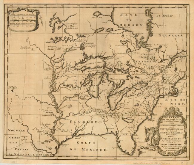
MapMaker: |
Louis de Hennepin
|
|
| |
| |
Subject: |
Colonial United States & Canada |
|
| |
Period/Size: |
1704 / 15.0" x 17.8" (38.1 x 45.3 cm)
|
|
| |
Color: |
Black & White
|
|
| |
Condition: |
(A) Very sharp impression printed on fine laid paper. Issued folding, now pressed with binding side margin extended to better accommodate framing. Lightly toned with a couple of insignificant spots, still very good. (condition help) |
|
| |
Source: |
|
|
| |
References: |
McCorkle #697.3; Karpinski, pp. 118-123. |
|
| |
|
|
| Sales Information |
| |
| |
Price: |
|
|
| |
| |
Offered by: |
Old World Auctions |
|
| |
Catalog: |
Auction No. 118 - Antique Maps, Charts, Atlases & Globes (584) |
|
| |
Lot/Item #: |
199 |
|
| |
| |
Date: |
03/2007
|
|
| |
| |
|