| Item Detail |
| |
| |
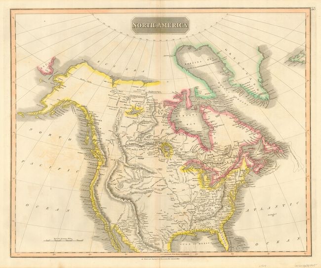
MapMaker: |
John Thomson [& Co.]
|
|
| |
| |
Subject: |
North America |
|
| |
Period/Size: |
1828 / 19.3" x 23.3" (49.1 x 59.2 cm)
|
|
| |
Color: |
Colored
|
|
| |
Condition: |
(B) Nice impression with original outline color. Scattered, light foxing and a couple of tiny holes in the unengraved portion of the upper left corner. Tiny bit of archival tape on verso reinforcing a marginal centerfold separation extending just past t (condition help) |
|
| |
Source: |
New General Atlas |
|
| |
References: |
Wheat [TMW] #319. |
|
| |
|
|
| Sales Information |
| |
| |
Price: |
|
|
| |
| |
Offered by: |
Old World Auctions |
|
| |
Catalog: |
Auction No. 118 - Antique Maps, Charts, Atlases & Globes (584) |
|
| |
Lot/Item #: |
147 |
|
| |
| |
Date: |
03/2007
|
|
| |
| |
|