| Item Detail |
| |
| |
MapMaker: |
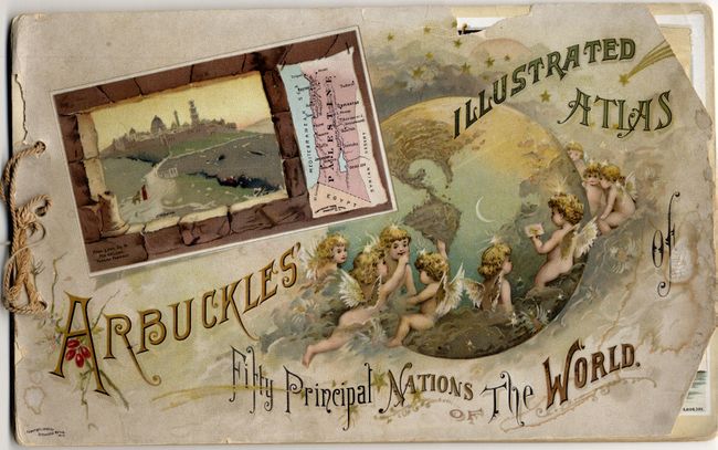
Arbuckle Bros. Coffee Co.
|
|
| |
| |
Subject: |
Atlases |
|
| |
Period/Size: |
1889 / 7.0" x 11.2" (17.8 x 28.5 cm)
|
|
| |
Color: |
Colored
|
|
| |
Condition: |
(B) The front cover is a little soiled with chips at both right side corners. The rear cover is torn and rough. The individual interior maps are all fine. At some point in its past, one sheet was turned upside down: easy to fix but we'll let the new ow (condition help) |
|
| |
Source: |
|
|
| |
References: |
|
|
| |
|
|
| Sales Information |
| |
| |
Price: |
|
|
| |
| |
Offered by: |
Old World Auctions |
|
| |
Catalog: |
Auction No. 118 - Antique Maps, Charts, Atlases & Globes (584) |
|
| |
Lot/Item #: |
947 |
|
| |
| |
Date: |
03/2007
|
|
| |
| |
|