| Item Detail |
| |
| |
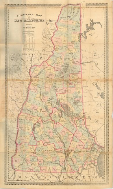
MapMaker: |
E.P. Dutton
|
|
| |
| |
Subject: |
New Hampshire |
|
| |
Period/Size: |
1868 / 26.5" x 15.0" (67.4 x 38.1 cm)
|
|
| |
Color: |
Colored
|
|
| |
Condition: |
(B) Damp stains along folds with several small fold separations. Covers are shelf worn with some damp stains. Still a nice example of a charming pocket map. (condition help) |
|
| |
Source: |
E.P. Dutton & Co's. Map of New Hampshire with Railroads & Townships |
|
| |
References: |
|
|
| |
|
|
| Sales Information |
| |
| |
Price: |
|
|
| |
| |
Offered by: |
Old World Auctions |
|
| |
Catalog: |
Auction No. 119 - Antique Maps, Charts, Atlases & Globes (585) |
|
| |
Lot/Item #: |
310 |
|
| |
| |
Date: |
05/2007
|
|
| |
| |
|