| Item Detail |
| |
| |
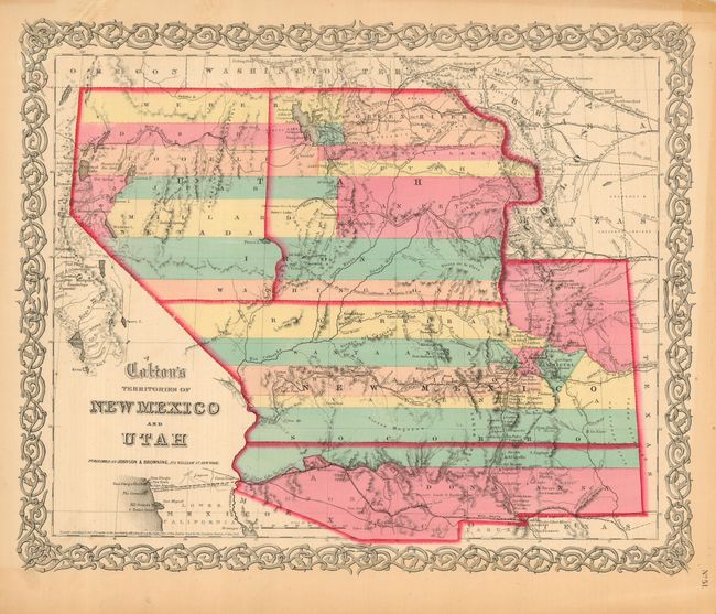
MapMaker: |
Johnson & Browning
|
|
| |
| |
Subject: |
United States - Southwestern |
|
| |
Period/Size: |
1859 / 12.8" x 15.6" (32.6 x 39.7 cm)
|
|
| |
Color: |
Colored
|
|
| |
Condition: |
(A) Very early, dark impression and bright, original hand color. Toned in margins from previous framing. Two marginal tears at top, closed with tape with a hint of toning showing on recto. The map image is fine. (condition help) |
|
| |
Source: |
Illustrated Family Atlas |
|
| |
References: |
Wheat (TMW) #832. |
|
| |
|
|
| Sales Information |
| |
| |
Price: |
|
|
| |
| |
Offered by: |
Old World Auctions |
|
| |
Catalog: |
Auction No. 118 - Antique Maps, Charts, Atlases & Globes (584) |
|
| |
Lot/Item #: |
299 |
|
| |
| |
Date: |
03/2007
|
|
| |
| |
|