| Item Detail |
| |
| |
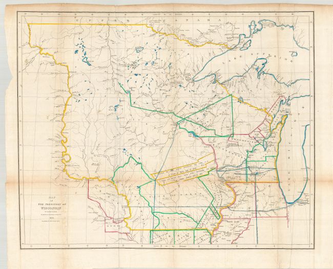
MapMaker: |
David H. Burr
|
|
| |
| |
Subject: |
Central United States - Wisconsin |
|
| |
Period/Size: |
1836 / 20.5" x 26.5" (52.1 x 67.4 cm)
|
|
| |
Color: |
Colored
|
|
| |
Condition: |
(B) Crisp impression with original outline color. The map folds as issued with faint toning along folds and a couple small intersection separations. There is a binding tear entering the border at left. (condition help) |
|
| |
Source: |
Report of the House Committee on the Public Lands… |
|
| |
References: |
Clausen & Friis #145; Karpinsky (MI) #138; Phillips (M) p.1075. |
|
| |
|
|
| Sales Information |
| |
| |
Price: |
|
|
| |
| |
Offered by: |
Old World Auctions |
|
| |
Catalog: |
Auction No. 119 - Antique Maps, Charts, Atlases & Globes (585) |
|
| |
Lot/Item #: |
207 |
|
| |
| |
Date: |
05/2007
|
|
| |
| |
|