Title:
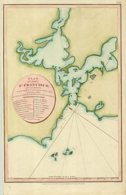
“Plan of Port St. Francisco in California Point de Reyes in 37° 59' of Latitude North & 124° 54' Longitude West”
Map Maker:
Jean Francois Galaup de La Perouse
This chart is one of the earliest obtainable maps ... (full text available to subscribers)
| Item Detail |
| |
| |
MapMaker: |
Jean Francois Galaup de La Perouse
|
|
| |
| |
Subject: |
California, San Francisco |
|
| |
Period/Size: |
1798 / 14.5" x 9.5" (36.9 x 24.2 cm)
|
|
| |
Color: |
Colored
|
|
| |
Condition: |
(B) Margins trimmed but still adequate for framing. (condition help) |
|
| |
Source: |
Voyage Round the World… |
|
| |
References: |
cf Harlow #15; Wagner (NW) #846. |
|
| |
|
|
| Sales Information |
| |
| |
Price: |
|
|
| |
| |
Offered by: |
Old World Auctions |
|
| |
Catalog: |
Auction No. 119 - Antique Maps, Charts, Atlases & Globes (585) |
|
| |
Lot/Item #: |
243 |
|
| |
| |
Date: |
05/2007
|
|
| |
| |
|
Antique Maps - Valuation and Pricing, Descriptions, Resources |
|
Home |
Information |
Search |
Register |
Contact Us |
Site Map
Americana Exchange, Inc. © 1999 - 2024 Americana Exchange, Inc.. All rights reserved.
OldMaps.com, the OldMaps.com logo and
AMPR are service marks or registered service marks of Americana Exchange, Inc..
|