| Item Detail |
| |
| |
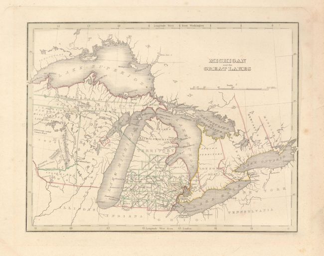
MapMaker: |
Thomas Gamaliel Bradford
|
|
| |
| |
Subject: |
Michigan, Great Lakes |
|
| |
Period/Size: |
1835 / 8.0" x 10.0" (20.4 x 25.4 cm)
|
|
| |
Color: |
Colored
|
|
| |
Condition: |
(B) A little marginal foxing with a few spots in map image, else very good. Map has full, wide margins and original outline coloring. Right margin edge has a few short tears, close on verso and well away from map. (condition help) |
|
| |
Source: |
|
|
| |
References: |
|
|
| |
|
|
| Sales Information |
| |
| |
Price: |
|
|
| |
| |
Offered by: |
Old World Auctions |
|
| |
Catalog: |
Auction No. 119 - Antique Maps, Charts, Atlases & Globes (585) |
|
| |
Lot/Item #: |
300 |
|
| |
| |
Date: |
05/2007
|
|
| |
| |
|