| Item Detail |
| |
| |
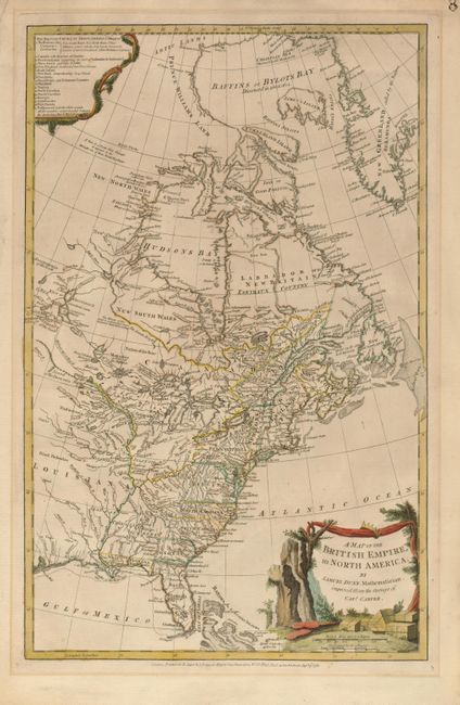
MapMaker: |
Samuel Dunn
|
|
| |
| |
Subject: |
Colonial United States and Canada |
|
| |
Period/Size: |
1776 / 18.8" x 11.8" (47.8 x 30.0 cm)
|
|
| |
Color: |
Colored
|
|
| |
Condition: |
(A) Lovely impression and delicate original color. There is a minor mat burn in the blank margins, not affecting image. Toned on verso with tape residue from hinges at top. The paper is sound and supple. (condition help) |
|
| |
Source: |
|
|
| |
References: |
Stevens & Tree #53 (b); Sellers & Van Ee #129; Schwartz & Ehrenberg pg. 190. |
|
| |
|
|
| Sales Information |
| |
| |
Price: |
|
|
| |
| |
Offered by: |
Old World Auctions |
|
| |
Catalog: |
Auction No. 119 - Antique Maps, Charts, Atlases & Globes (585) |
|
| |
Lot/Item #: |
144 |
|
| |
| |
Date: |
05/2007
|
|
| |
| |
|