| Item Detail |
| |
| |
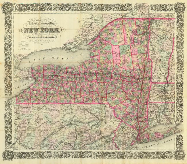
MapMaker: |
G.W. & C.B Colton [& Co.]
|
|
| |
| |
Subject: |
New York |
|
| |
Period/Size: |
1883 / 24.5" x 28.0" (62.3 x 71.2 cm)
|
|
| |
Color: |
Colored
|
|
| |
Condition: |
(A) Extremely nice for a map of this type with a couple of stains in the upper left, blank margin, well away from the map. Faint toning along folds, still overall very good. (condition help) |
|
| |
Source: |
|
|
| |
References: |
|
|
| |
|
|
| Sales Information |
| |
| |
Price: |
|
|
| |
| |
Offered by: |
Old World Auctions |
|
| |
Catalog: |
Auction No. 120 - Antique Maps, Charts, Atlases & Globes (613) |
|
| |
Lot/Item #: |
324 |
|
| |
| |
Date: |
07/2007
|
|
| |
| |
|