| Item Detail |
| |
| |
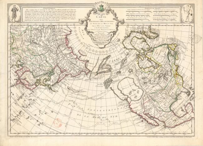
MapMaker: |
Delisle/Buache
|
|
| |
| |
Subject: |
North Pacific Ocean and Western North America |
|
| |
Period/Size: |
1752 / 17.7" x 25.0" (45.0 x 63.5 cm)
|
|
| |
Color: |
Colored
|
|
| |
Condition: |
(B) Sharp impression with original outline color. There are two illegible ownership stamps in primarily blank areas. There are some stains on the eastern coast of North America. (condition help) |
|
| |
Source: |
Delisle's Explication de la Carte des Nouvelles Discoveries |
|
| |
References: |
Falk #1752-7; Hayes #41; Tooley (Am) p.34, #101; Schwartz & Ehrenberg plt. #94; Wagner (NW) #566. |
|
| |
|
|
| Sales Information |
| |
| |
Price: |
|
|
| |
| |
Offered by: |
Old World Auctions |
|
| |
Catalog: |
Auction No. 120 - Antique Maps, Charts, Atlases & Globes (613) |
|
| |
Lot/Item #: |
791 |
|
| |
| |
Date: |
07/2007
|
|
| |
| |
|