| Item Detail |
| |
| |
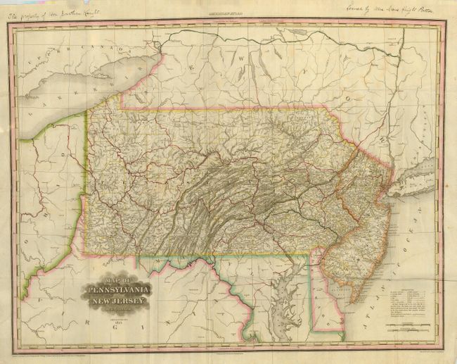
MapMaker: |
Henry Schenck Tanner
|
|
| |
| |
Subject: |
Pennsylvania, New Jersey |
|
| |
Period/Size: |
1825 / 20.5" x 27.0" (52.1 x 68.6 cm)
|
|
| |
Color: |
Colored
|
|
| |
Condition: |
(+B) Folding, as issued with full margins and original color. The map image is very good but with some soft fold lines and a little light foxing or offsetting evident in blank areas. In blank upper margin are two ink notes related to ownership. (condition help) |
|
| |
Source: |
|
|
| |
References: |
|
|
| |
|
|
| Sales Information |
| |
| |
Price: |
|
|
| |
| |
Offered by: |
Old World Auctions |
|
| |
Catalog: |
Auction No. 120 - Antique Maps, Charts, Atlases & Globes (613) |
|
| |
Lot/Item #: |
202 |
|
| |
| |
Date: |
07/2007
|
|
| |
| |
|