| Item Detail |
| |
| |
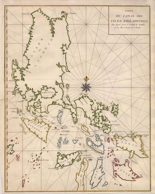
MapMaker: |
George Anson
|
|
| |
| |
Subject: |
Philippines |
|
| |
Period/Size: |
1750 / 21.0" x 16.5" (53.4 x 42.0 cm)
|
|
| |
Color: |
Colored
|
|
| |
Condition: |
(+B) Sharp impression with folds as issued. The map is remargined to the neatline on the lower left binding side, also repairing a small tear just into the border. The right margin has a short fold separation, just touching the neatline. (condition help) |
|
| |
Source: |
|
|
| |
References: |
|
|
| |
|
|
| Sales Information |
| |
| |
Price: |
|
|
| |
| |
Offered by: |
Old World Auctions |
|
| |
Catalog: |
Auction No. 121 - Antique Maps, Charts, Atlases & Globes (614) |
|
| |
Lot/Item #: |
756 |
|
| |
| |
Date: |
09/2007
|
|
| |
| |
|