| Item Detail |
| |
| |
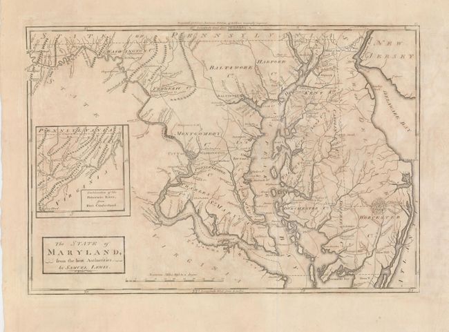
MapMaker: |
Samuel Lewis
|
|
| |
| |
Subject: |
Maryland |
|
| |
Period/Size: |
1802 / 11.0" x 16.3" (28.0 x 41.4 cm)
|
|
| |
Color: |
Black & White
|
|
| |
Condition: |
(B) Nice impression on a sheet with wide, original margins. A little uneven toning and one tiny hole just under the cartouche. Another small hole is in the upper blank margin. (condition help) |
|
| |
Source: |
Carey's American Edition of Guthrie's Geography improved |
|
| |
References: |
Wheat & Brun #511. |
|
| |
|
|
| Sales Information |
| |
| |
Price: |
|
|
| |
| |
Offered by: |
Old World Auctions |
|
| |
Catalog: |
Auction No. 120 - Antique Maps, Charts, Atlases & Globes (613) |
|
| |
Lot/Item #: |
302 |
|
| |
| |
Date: |
07/2007
|
|
| |
| |
|