Title:
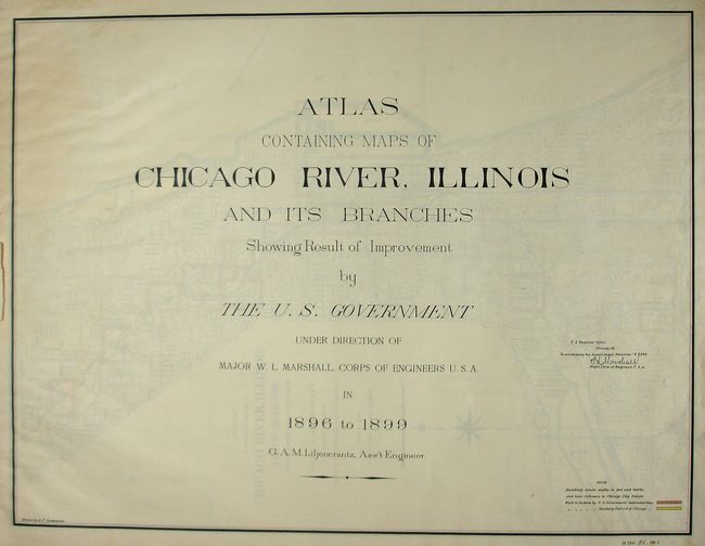
“Atlas Containing Maps of Chicago River, Illinois and its Branches Showing Results of Improvement by the U.S. Government Under Direction of Major W. L. Marshall, Corps of Engineers U. S. A. in 1896 to 1899”
Map Maker:
U.S. Corps of Engineers
This is a complete and rarely seen atlas that deta... (full text available to subscribers)
| Item Detail |
| |
| |
MapMaker: |
U.S. Corps of Engineers
|
|
| |
| |
Subject: |
Atlases - Illinois |
|
| |
Period/Size: |
1896-99 / 22.5" x 28.5" (57.2 x 72.4 cm)
|
|
| |
Color: |
Colored
|
|
| |
Condition: |
(A) With no covers, but all pages still bound together. Rear free end paper is loose. The maps are fine, with no flaws. (condition help) |
|
| |
Source: |
House Doc 95, 56th Congress, 1st Sess. |
|
| |
References: |
|
|
| |
|
|
| Sales Information |
| |
| |
Price: |
|
|
| |
| |
Offered by: |
Old World Auctions |
|
| |
Catalog: |
Auction No. 120 - Antique Maps, Charts, Atlases & Globes (613) |
|
| |
Lot/Item #: |
861 |
|
| |
| |
Date: |
07/2007
|
|
| |
| |
|
Antique Maps - Valuation and Pricing, Descriptions, Resources |
|
Home |
Information |
Search |
Register |
Contact Us |
Site Map
Americana Exchange, Inc. © 1999 - 2024 Americana Exchange, Inc.. All rights reserved.
OldMaps.com, the OldMaps.com logo and
AMPR are service marks or registered service marks of Americana Exchange, Inc..
|