| Item Detail |
| |
| |
MapMaker: |
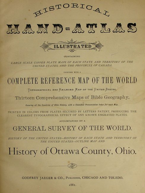
Godfrey Jaeger & Co
|
|
| |
| |
Subject: |
Atlases |
|
| |
Period/Size: |
1881 / 15.0" x 11.3" (38.1 x 28.6 cm)
|
|
| |
Color: |
Colored
|
|
| |
Condition: |
(+C) The maps vary between very good to good due to occasional scattered foxing. Text and maps generally good with usual toning and foxing. Foldout maps have intersectional fold separations, with the township map of Ohio loose. Several pages are dog-ea (condition help) |
|
| |
Source: |
|
|
| |
References: |
|
|
| |
|
|
| Sales Information |
| |
| |
Price: |
|
|
| |
| |
Offered by: |
Old World Auctions |
|
| |
Catalog: |
Auction No. 120 - Antique Maps, Charts, Atlases & Globes (613) |
|
| |
Lot/Item #: |
854 |
|
| |
| |
Date: |
07/2007
|
|
| |
| |
|