| Item Detail |
| |
| |
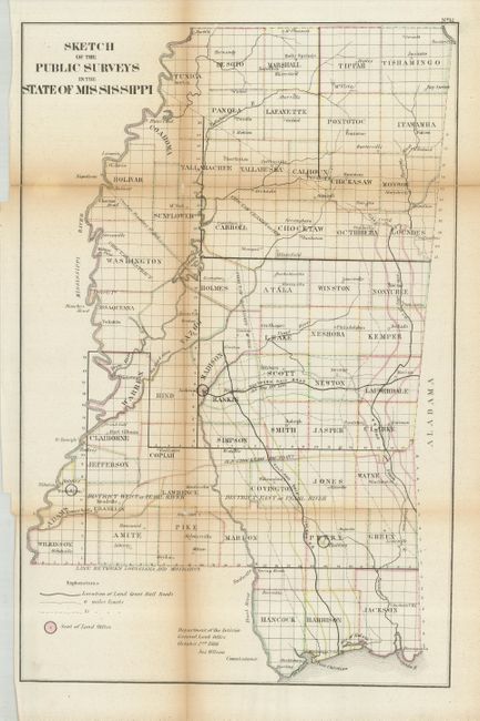
MapMaker: |
General Land Office
|
|
| |
| |
Subject: |
Mississippi |
|
| |
Period/Size: |
1866 / 17.8" x 11.5" (45.3 x 29.3 cm)
|
|
| |
Color: |
Colored
|
|
| |
Condition: |
(+C) Folding, as issued, with toning along the folds and two fold intersection splits with small loss. A fold split has been repaired with tape on verso. Binding edge close, as issued. (condition help) |
|
| |
Source: |
|
|
| |
References: |
Phillips (A) #1388. |
|
| |
|
|
| Sales Information |
| |
| |
Price: |
|
|
| |
| |
Offered by: |
Old World Auctions |
|
| |
Catalog: |
Auction No. 121 - Antique Maps, Charts, Atlases & Globes (614) |
|
| |
Lot/Item #: |
257 |
|
| |
| |
Date: |
09/2007
|
|
| |
| |
|