| Item Detail |
| |
| |
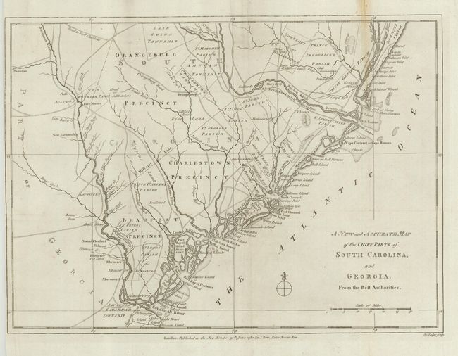
MapMaker: |
John Lodge
|
|
| |
| |
Subject: |
Colonial Southeast |
|
| |
Period/Size: |
1780 / 10.8" x 14.8" (27.5 x 37.6 cm)
|
|
| |
Color: |
Black & White
|
|
| |
Condition: |
(B) Good impression with light toning along one fold. Trimmed nearly to the neatline at left binder's side with a repaired 1.5" tear into a blank area of the map. The map has been backed with Japanese tissue to strengthen folds. (condition help) |
|
| |
Source: |
Political Magazine |
|
| |
References: |
Jolly POL-7. |
|
| |
|
|
| Sales Information |
| |
| |
Price: |
|
|
| |
| |
Offered by: |
Old World Auctions |
|
| |
Catalog: |
Auction No. 120 - Antique Maps, Charts, Atlases & Globes (613) |
|
| |
Lot/Item #: |
222 |
|
| |
| |
Date: |
07/2007
|
|
| |
| |
|