| Item Detail |
| |
| |
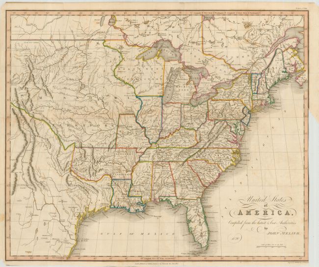
MapMaker: |
John Melish
|
|
| |
| |
Subject: |
Eastern United States |
|
| |
Period/Size: |
1824 / 15.4" x 18.6" (39.2 x 47.3 cm)
|
|
| |
Color: |
Colored
|
|
| |
Condition: |
(B) Nice impression on sound paper with original color and folds as issued. The map has some light toning and a few spots of foxing. Trimmed to the neatline for binding with a short binding tear repaired with archival tape. (condition help) |
|
| |
Source: |
|
|
| |
References: |
|
|
| |
|
|
| Sales Information |
| |
| |
Price: |
|
|
| |
| |
Offered by: |
Old World Auctions |
|
| |
Catalog: |
Auction No. 120 - Antique Maps, Charts, Atlases & Globes (613) |
|
| |
Lot/Item #: |
181 |
|
| |
| |
Date: |
07/2007
|
|
| |
| |
|