| Item Detail |
| |
| |
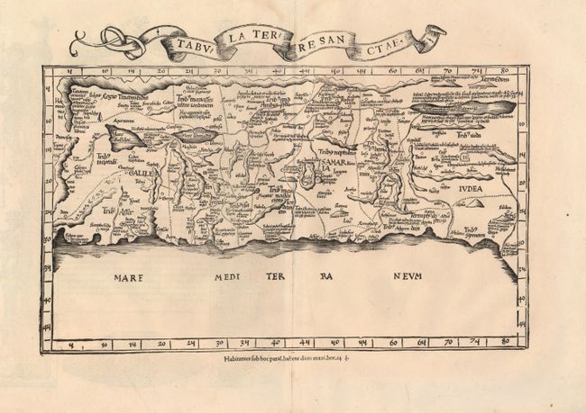
MapMaker: |
Ptolemy/Fries
|
|
| |
| |
Subject: |
Holy Land |
|
| |
Period/Size: |
1535 / 9.5" x 16.3" (24.2 x 41.4 cm)
|
|
| |
Color: |
Black & White
|
|
| |
Condition: |
(A) Nice impression on a sound sheet with wide original margins. Very faint damp stain at top margin, not affecting map. (condition help) |
|
| |
Source: |
Claudii Ptolemaei Alexandrini Geographicae… |
|
| |
References: |
Laor #612; Mickwitz & Miekkavaara (Nordenskiold ) Vol.II, #209:37; Nordenskiold pp. 22-23. |
|
| |
|
|
| Sales Information |
| |
| |
Price: |
|
|
| |
| |
Offered by: |
Old World Auctions |
|
| |
Catalog: |
Auction No. 120 - Antique Maps, Charts, Atlases & Globes (613) |
|
| |
Lot/Item #: |
691 |
|
| |
| |
Date: |
07/2007
|
|
| |
| |
|