Title:
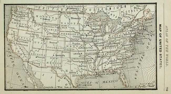
“Rand, McNally & Co.'s Pocket Atlas of the World Containing Colored Maps of each State and Territory in the United States; also, Map of every Country in the World”
Map Maker:
Rand, McNally & Co.
A wonderful small pocket atlas that is "illustrate... (full text available to subscribers)
| Item Detail |
| |
| |
MapMaker: |
Rand, McNally & Co.
|
|
| |
| |
Subject: |
Atlases |
|
| |
Period/Size: |
1887 / 5.7" x 3.6" (14.5 x 9.2 cm)
|
|
| |
Color: |
Colored
|
|
| |
Condition: |
(A) Contents and maps very good to fine. Front cover a little sunned, spine with wear at edges, and soiling to back cover. (condition help) |
|
| |
Source: |
|
|
| |
References: |
|
|
| |
|
|
| Sales Information |
| |
| |
Price: |
|
|
| |
| |
Offered by: |
Old World Auctions |
|
| |
Catalog: |
Auction No. 120 - Antique Maps, Charts, Atlases & Globes (613) |
|
| |
Lot/Item #: |
859 |
|
| |
| |
Date: |
07/2007
|
|
| |
| |
|
Antique Maps - Valuation and Pricing, Descriptions, Resources |
|
Home |
Information |
Search |
Register |
Contact Us |
Site Map
Americana Exchange, Inc. © 1999 - 2024 Americana Exchange, Inc.. All rights reserved.
OldMaps.com, the OldMaps.com logo and
AMPR are service marks or registered service marks of Americana Exchange, Inc..
|