Title:
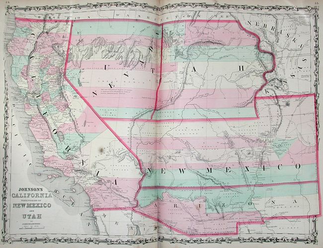
“Johnson's New Illustrated Family Atlas, with Descriptions, Geographical, Statistical, and Historical…”
Map Maker:
Johnson & Browning
This complete atlas contains 23 double-page and 41... (full text available to subscribers)
| Item Detail |
| |
| |
MapMaker: |
Johnson & Browning
|
|
| |
| |
Subject: |
Atlases |
|
| |
Period/Size: |
1860 / 19.0" x 15.0" (48.3 x 38.1 cm)
|
|
| |
Color: |
Colored
|
|
| |
Condition: |
(+B) Contents and maps good with some very light occasional foxing. Several pages are loose at front and have some chipping and tears in the margins. The important maps are sound. Covers are moderately worn with some scuffing and bumping on the corners (condition help) |
|
| |
Source: |
|
|
| |
References: |
|
|
| |
|
|
| Sales Information |
| |
| |
Price: |
|
|
| |
| |
Offered by: |
Old World Auctions |
|
| |
Catalog: |
Auction No. 121 - Antique Maps, Charts, Atlases & Globes (614) |
|
| |
Lot/Item #: |
851 |
|
| |
| |
Date: |
09/2007
|
|
| |
| |
|
Antique Maps - Valuation and Pricing, Descriptions, Resources |
|
Home |
Information |
Search |
Register |
Contact Us |
Site Map
Americana Exchange, Inc. © 1999 - 2024 Americana Exchange, Inc.. All rights reserved.
OldMaps.com, the OldMaps.com logo and
AMPR are service marks or registered service marks of Americana Exchange, Inc..
|