| Item Detail |
| |
| |
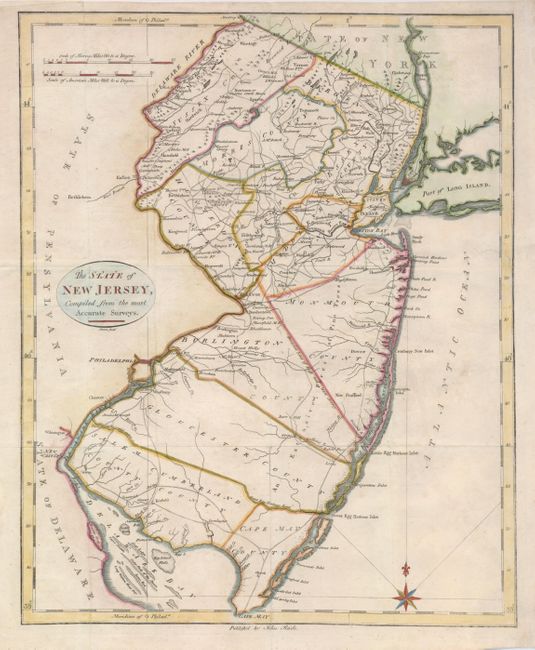
MapMaker: |
John Reid
|
|
| |
| |
Subject: |
New Jersey |
|
| |
Period/Size: |
1796 / 17.5" x 14.5" (44.5 x 36.9 cm)
|
|
| |
Color: |
Colored
|
|
| |
Condition: |
(B) Issued folding, now flattened with folds reinforced with tissue on the verso. The right binding side has been neatly extended to accommodate framing, repairing a minor tear in the process. A tiny hole in blank area of ocean has been professionally (condition help) |
|
| |
Source: |
American Atlas |
|
| |
References: |
Wheat & Brun #418. |
|
| |
|
|
| Sales Information |
| |
| |
Price: |
|
|
| |
| |
Offered by: |
Old World Auctions |
|
| |
Catalog: |
Auction No. 121 - Antique Maps, Charts, Atlases & Globes (614) |
|
| |
Lot/Item #: |
268 |
|
| |
| |
Date: |
09/2007
|
|
| |
| |
|