| Item Detail |
| |
| |
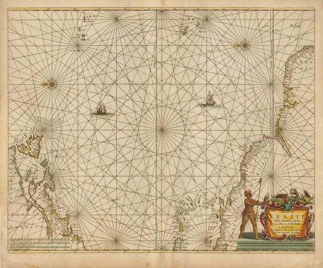
MapMaker: |
Henrick Doncker
|
|
| |
| |
Subject: |
Atlantic Ocean |
|
| |
Period/Size: |
1659 / 17.0" x 21.5" (43.2 x 54.7 cm)
|
|
| |
Color: |
Colored
|
|
| |
Condition: |
(+B) Nice impression on a double-thick sheet as is typical for sea charts of the period. A little irregular toning and some faint damp-staining, confined primarily to the margins. There is some abrasion along a printer's creases to the right of the cent (condition help) |
|
| |
Source: |
De Zee-Atlas of Water-Waerelt |
|
| |
References: |
Burden #338. |
|
| |
|
|
| Sales Information |
| |
| |
Price: |
|
|
| |
| |
Offered by: |
Old World Auctions |
|
| |
Catalog: |
Auction No. 121 - Antique Maps, Charts, Atlases & Globes (614) |
|
| |
Lot/Item #: |
406 |
|
| |
| |
Date: |
09/2007
|
|
| |
| |
|