| Item Detail |
| |
| |
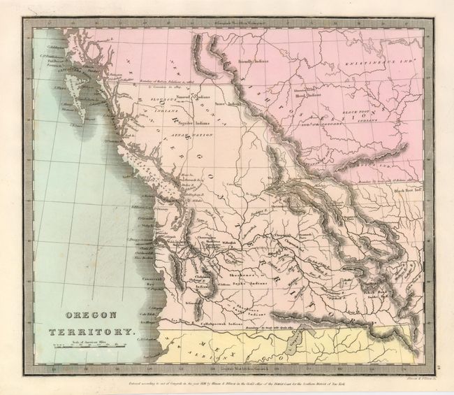
MapMaker: |
David H. Burr
|
|
| |
| |
Subject: |
Northwestern United States - Oregon |
|
| |
Period/Size: |
1836 / 10.5" x 12.3" (26.7 x 31.3 cm)
|
|
| |
Color: |
Colored
|
|
| |
Condition: |
(+B) The map has fine coloring and good margins. It has a few tiny foxing spots, mostly in blank ocean. There is one area of double printing resulting in a blurred effect along the Lewis River. (condition help) |
|
| |
Source: |
Burr's New Universal Atlas |
|
| |
References: |
Wheat (TMW) 402; Rumsey 1941. |
|
| |
|
|
| Sales Information |
| |
| |
Price: |
|
|
| |
| |
Offered by: |
Old World Auctions |
|
| |
Catalog: |
Auction No. 121 - Antique Maps, Charts, Atlases & Globes (614) |
|
| |
Lot/Item #: |
206 |
|
| |
| |
Date: |
09/2007
|
|
| |
| |
|