| Item Detail |
| |
| |
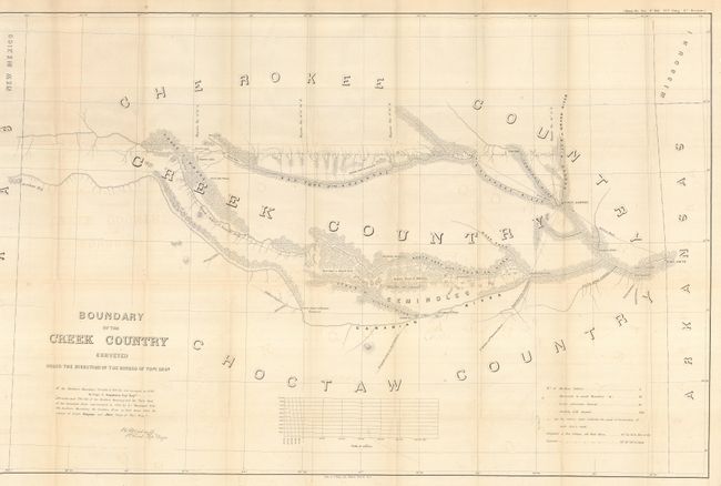
MapMaker: |
U.S. War Department
|
|
| |
| |
Subject: |
Oklahoma |
|
| |
Period/Size: |
1858 / 24.0" x 37.2" (61.0 x 94.5 cm)
|
|
| |
Color: |
Black & White
|
|
| |
Condition: |
(+B) Map has some very light offsetting and a couple very small intersectional fold separations. A very good, disbound example. (condition help) |
|
| |
Source: |
HR Doc. #104. 35th Congress 1st Session |
|
| |
References: |
Phillips (M) p.251. |
|
| |
|
|
| Sales Information |
| |
| |
Price: |
|
|
| |
| |
Offered by: |
Old World Auctions |
|
| |
Catalog: |
Auction No. 121 - Antique Maps, Charts, Atlases & Globes (614) |
|
| |
Lot/Item #: |
288 |
|
| |
| |
Date: |
09/2007
|
|
| |
| |
|