| Item Detail |
| |
| |
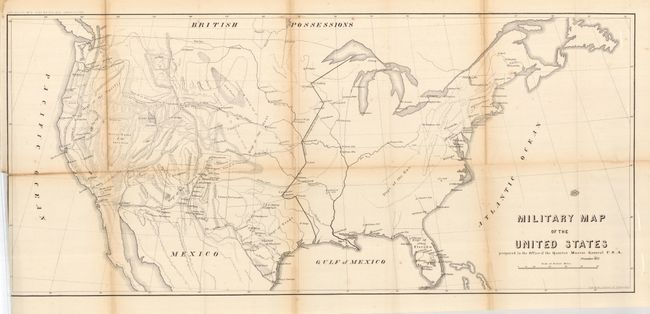
MapMaker: |
U.S. War Department
|
|
| |
| |
Subject: |
United States |
|
| |
Period/Size: |
1857 / 13.5" x 29.3" (34.3 x 74.5 cm)
|
|
| |
Color: |
Black & White
|
|
| |
Condition: |
(C) Binding trim into neatline at lower left, as issued. The map has some long fold splits that suggest the map should be professionally backed.. With some fold toning, principally on the horizontal fold. (condition help) |
|
| |
Source: |
|
|
| |
References: |
Wheat [TMW] #929. |
|
| |
|
|
| Sales Information |
| |
| |
Price: |
|
|
| |
| |
Offered by: |
Old World Auctions |
|
| |
Catalog: |
Auction No. 121 - Antique Maps, Charts, Atlases & Globes (614) |
|
| |
Lot/Item #: |
140 |
|
| |
| |
Date: |
09/2007
|
|
| |
| |
|