Title:
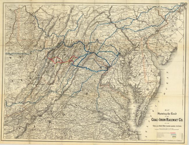
“Map Showing the Road of the Coal & Iron Railway Co. and the Coal and Iron Ore Lands Along its Line”
Map Maker:
G.W. & C.B Colton [& Co.]
A highly detailed map that focuses on Virginia, bu... (full text available to subscribers)
| Item Detail |
| |
| |
MapMaker: |
G.W. & C.B Colton [& Co.]
|
|
| |
| |
Subject: |
United States - Mid Atlantic |
|
| |
Period/Size: |
1882 / 24.0" x 30.0" (61.0 x 76.2 cm)
|
|
| |
Color: |
Colored
|
|
| |
Condition: |
(+B) Folding, as issued. Several archival tape repairs on verso to the intersectional folds. Minor soiling confined to margins. (condition help) |
|
| |
Source: |
|
|
| |
References: |
|
|
| |
|
|
| Sales Information |
| |
| |
Price: |
|
|
| |
| |
Offered by: |
Old World Auctions |
|
| |
Catalog: |
Auction No. 122 - Antique Maps, Charts, Atlases & Globes (615) |
|
| |
Lot/Item #: |
205 |
|
| |
| |
Date: |
12/2007
|
|
| |
| |
|
Antique Maps - Valuation and Pricing, Descriptions, Resources |
|
Home |
Information |
Search |
Register |
Contact Us |
Site Map
Americana Exchange, Inc. © 1999 - 2024 Americana Exchange, Inc.. All rights reserved.
OldMaps.com, the OldMaps.com logo and
AMPR are service marks or registered service marks of Americana Exchange, Inc..
|