| Item Detail |
| |
| |
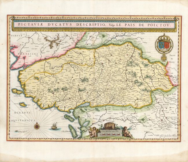
MapMaker: |
Willem Blaeu
|
|
| |
| |
Subject: |
France |
|
| |
Period/Size: |
1640 / 15.0" x 20.7" (38.1 x 52.6 cm)
|
|
| |
Color: |
Colored
|
|
| |
Condition: |
(+B) A very dark impression on a sound sheet with a few faint stains in the map and some irregular toning in the top and bottom blank margin. Lower portion of centerfold reinforced on the verso with archival tape. (condition help) |
|
| |
Source: |
|
|
| |
References: |
|
|
| |
|
|
| Sales Information |
| |
| |
Price: |
|
|
| |
| |
Offered by: |
Old World Auctions |
|
| |
Catalog: |
Auction No. 122 - Antique Maps, Charts, Atlases & Globes (615) |
|
| |
Lot/Item #: |
527 |
|
| |
| |
Date: |
12/2007
|
|
| |
| |
|