| Item Detail |
| |
| |
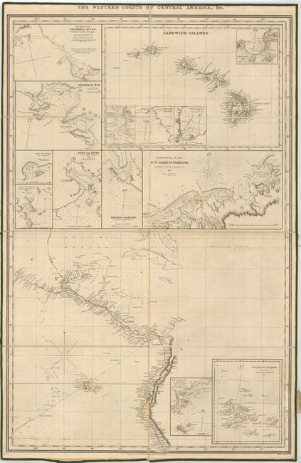
MapMaker: |
Richard Holmes Laurie
|
|
| |
| |
Subject: |
Central America, Hawaii and Pacific coast of America |
|
| |
Period/Size: |
1853 / 38.0" x 25.0" (96.6 x 63.5 cm)
|
|
| |
Color: |
Black & White
|
|
| |
Condition: |
(+B) The map is in very good condition with linen and label securely attached. The green silk edging is starting to fray and detach, and there are a few faint stains in the map. Still very nice for a map of this type and rarity. (condition help) |
|
| |
Source: |
|
|
| |
References: |
|
|
| |
|
|
| Sales Information |
| |
| |
Price: |
|
|
| |
| |
Offered by: |
Old World Auctions |
|
| |
Catalog: |
Auction No. 122 - Antique Maps, Charts, Atlases & Globes (615) |
|
| |
Lot/Item #: |
365 |
|
| |
| |
Date: |
12/2007
|
|
| |
| |
|