Title:
“Colton's General Atlas, Containing One Hundred and Eighty Steel Plate Maps and Plans…”
Map Maker:
G.W. & C.B Colton [& Co.]
Colton's massive General Atlas, is consider... (full text available to subscribers)
| Item Detail |
| |
| |
MapMaker: |
G.W. & C.B Colton [& Co.]
|
|
| |
| |
Subject: |
Atlases |
|
| |
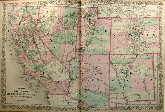
Period/Size: |
1872 / 17.5" x 15.0" (44.5 x 38.1 cm)
|
|
| |
Color: |
Colored
|
|
| |
Condition: |
(+B) Maps are age toned and a bit brittle along the edges, which has contributed to some short edge tears and the loosening of the front signature. The List of Maps page is nearly separated from the binding. Contents have occasional handling soil, mostl (condition help) |
|
| |
Source: |
|
|
| |
References: |
|
|
| |
|
|
| Sales Information |
| |
| |
Price: |
|
|
| |
| |
Offered by: |
Old World Auctions |
|
| |
Catalog: |
Auction No. 122 - Antique Maps, Charts, Atlases & Globes (615) |
|
| |
Lot/Item #: |
878 |
|
| |
| |
Date: |
12/2007
|
|
| |
| |
|
Antique Maps - Valuation and Pricing, Descriptions, Resources |
|
Home |
Information |
Search |
Register |
Contact Us |
Site Map
Americana Exchange, Inc. © 1999 - 2024 Americana Exchange, Inc.. All rights reserved.
OldMaps.com, the OldMaps.com logo and
AMPR are service marks or registered service marks of Americana Exchange, Inc..
|