| Item Detail |
| |
| |
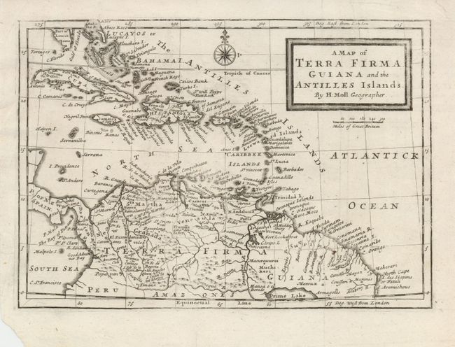
MapMaker: |
Herman Moll
|
|
| |
| |
Subject: |
Northern South America and Lesser Antilles |
|
| |
Period/Size: |
1725 / 7.0" x 10.0" (17.8 x 25.4 cm)
|
|
| |
Color: |
Black & White
|
|
| |
Condition: |
(+B) A slightly uneven impression on a sheet with a couple of repaired tears in the upper margin, one just entering the map. Lower left corner is torn, well away from map. (condition help) |
|
| |
Source: |
|
|
| |
References: |
|
|
| |
|
|
| Sales Information |
| |
| |
Price: |
|
|
| |
| |
Offered by: |
Old World Auctions |
|
| |
Catalog: |
Auction No. 122 - Antique Maps, Charts, Atlases & Globes (615) |
|
| |
Lot/Item #: |
407 |
|
| |
| |
Date: |
12/2007
|
|
| |
| |
|