| Item Detail |
| |
| |
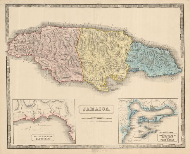
MapMaker: |
George Philip [& Son]
|
|
| |
| |
Subject: |
Jamaica |
|
| |
Period/Size: |
1850 / 19.3" x 24.0" (49.1 x 61.0 cm)
|
|
| |
Color: |
Colored
|
|
| |
Condition: |
(A) Centerfold has short splits at each end well away from map. An edge tear has been repaired with archival tape on verso. Upper margin is slightly creased. A couple unobtrusive spots in map. (condition help) |
|
| |
Source: |
|
|
| |
References: |
|
|
| |
|
|
| Sales Information |
| |
| |
Price: |
|
|
| |
| |
Offered by: |
Old World Auctions |
|
| |
Catalog: |
Auction No. 123 - Antique Maps, Charts, Atlases & Globes (652) |
|
| |
Lot/Item #: |
399 |
|
| |
| |
Date: |
02/2008
|
|
| |
| |
|