| Item Detail |
| |
| |
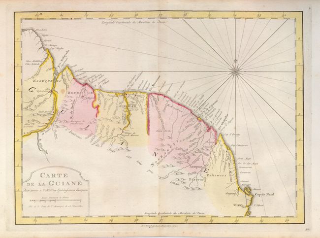
MapMaker: |
A. van Krevelt
|
|
| |
| |
Subject: |
Guyana, Suriname, French Guiana |
|
| |
Period/Size: |
1773 / 9.0" x 12.5" (22.9 x 31.8 cm)
|
|
| |
Color: |
Colored
|
|
| |
Condition: |
(+B) Fine color and very nice, delicate impression. Full margins. Map has one spot, and a trace of toning along the centerfold. (condition help) |
|
| |
Source: |
Raynal's Atlas Portatiff |
|
| |
References: |
|
|
| |
|
|
| Sales Information |
| |
| |
Price: |
|
|
| |
| |
Offered by: |
Old World Auctions |
|
| |
Catalog: |
Auction No. 123 - Antique Maps, Charts, Atlases & Globes (652) |
|
| |
Lot/Item #: |
434 |
|
| |
| |
Date: |
02/2008
|
|
| |
| |
|